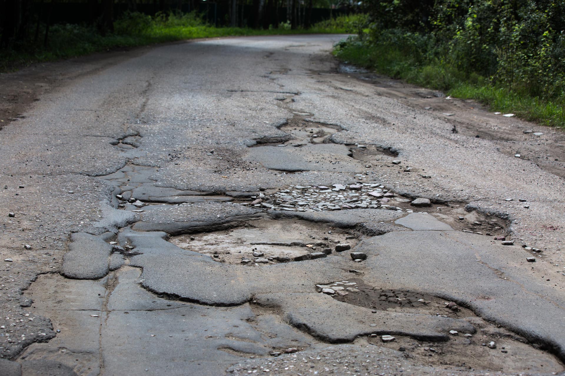
A Study of Highway Subsidence due to Longwall Mining using data collected from I-79
Objective: This study is proposed to study the field measured highway subsidence data collected by PennDOT under I-79 Highway resulting from the longwall mining. The objectives are to determine which of the existing models gives the best prediction, and to investigate the possibility of modifying these models if necessary. The data collected by District 12 on the subsidence taking place under I-79 highway will be used. The study framework implemented will contain the following features:
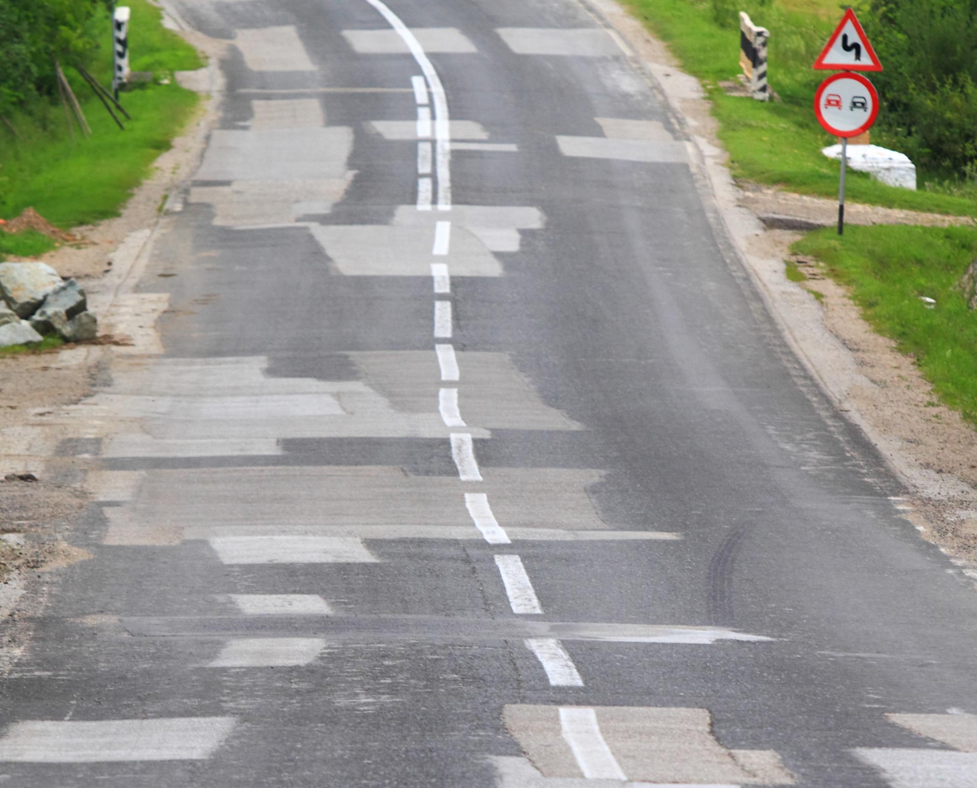
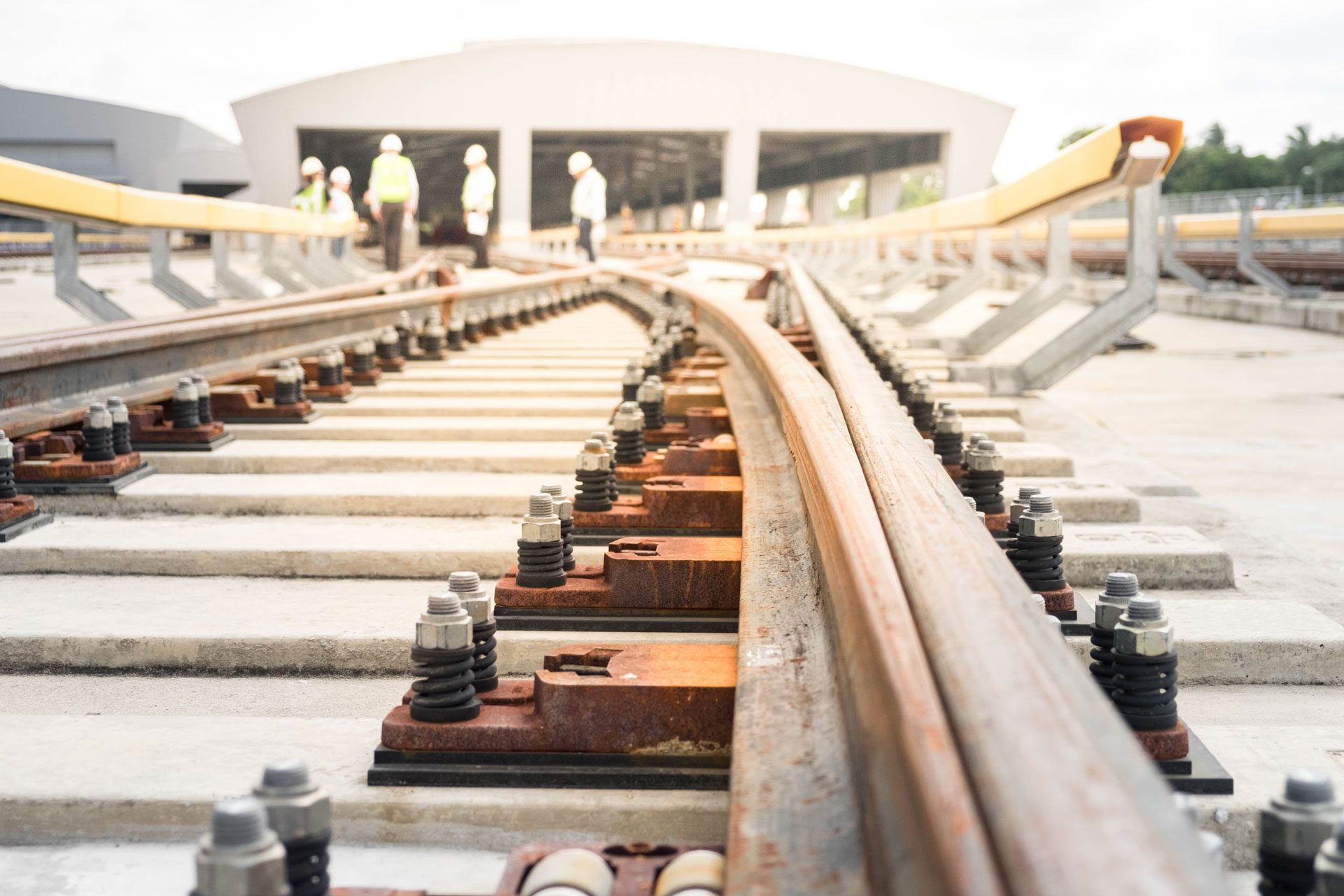
- Collect and study the geological profiles and ground displacement records obtained during the longwall mining of the Emerald Mine and Cumberland Mine under I-79 Highway. The longwall mining will cover the following panels: Emerald B3, Emerald B4, and Emerald B5 and Cumberland LW 49, LW 50, LW 51, LW 52, and LW 53.
- Study the subsidence profiles created by the longwall panels mentioned above.
- Comparison of the measured subsidence profiles with the ones obtained using the Surface Deformation Prediction System (SDPS) model developed by the Office of Surface Mining.
- Prediction of future subsidence as the panels mentioned above advance in the years ahead.
Contacts
Principal Investigator : Luis VallejoCo-principal Investigator : J.S. LinAuthor
Date
05 October, 2018
Related Links


50 KSI Steel Piles
2018-10-05

Bridge Waterproofing Details
2018-10-05

Biodiesel Fuel Feasibility Study
2018-10-05

Depth to Bedrock Seismic Measuring Device
2018-10-05
Repair Method of Pre-stressed Girder Bridges
2018-10-05

Phase 2 - Bridge Scour
2018-10-05


Freeway Ramp Management
2018-10-05
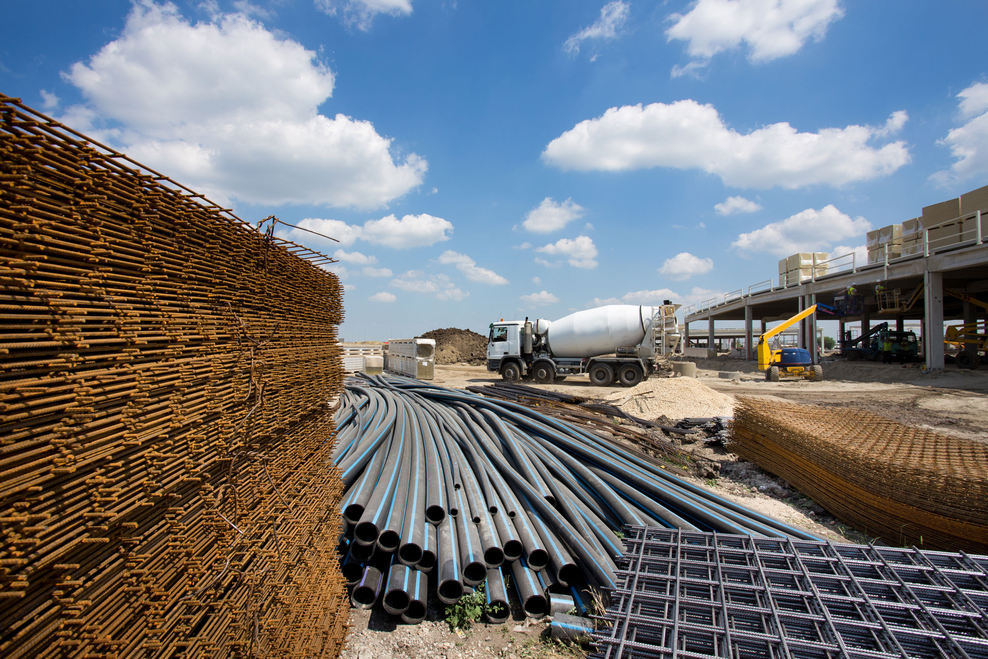

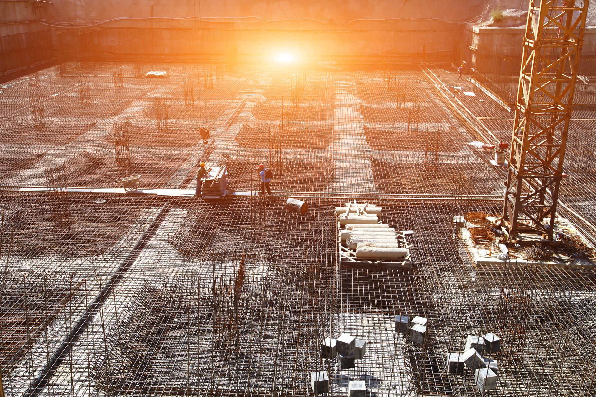


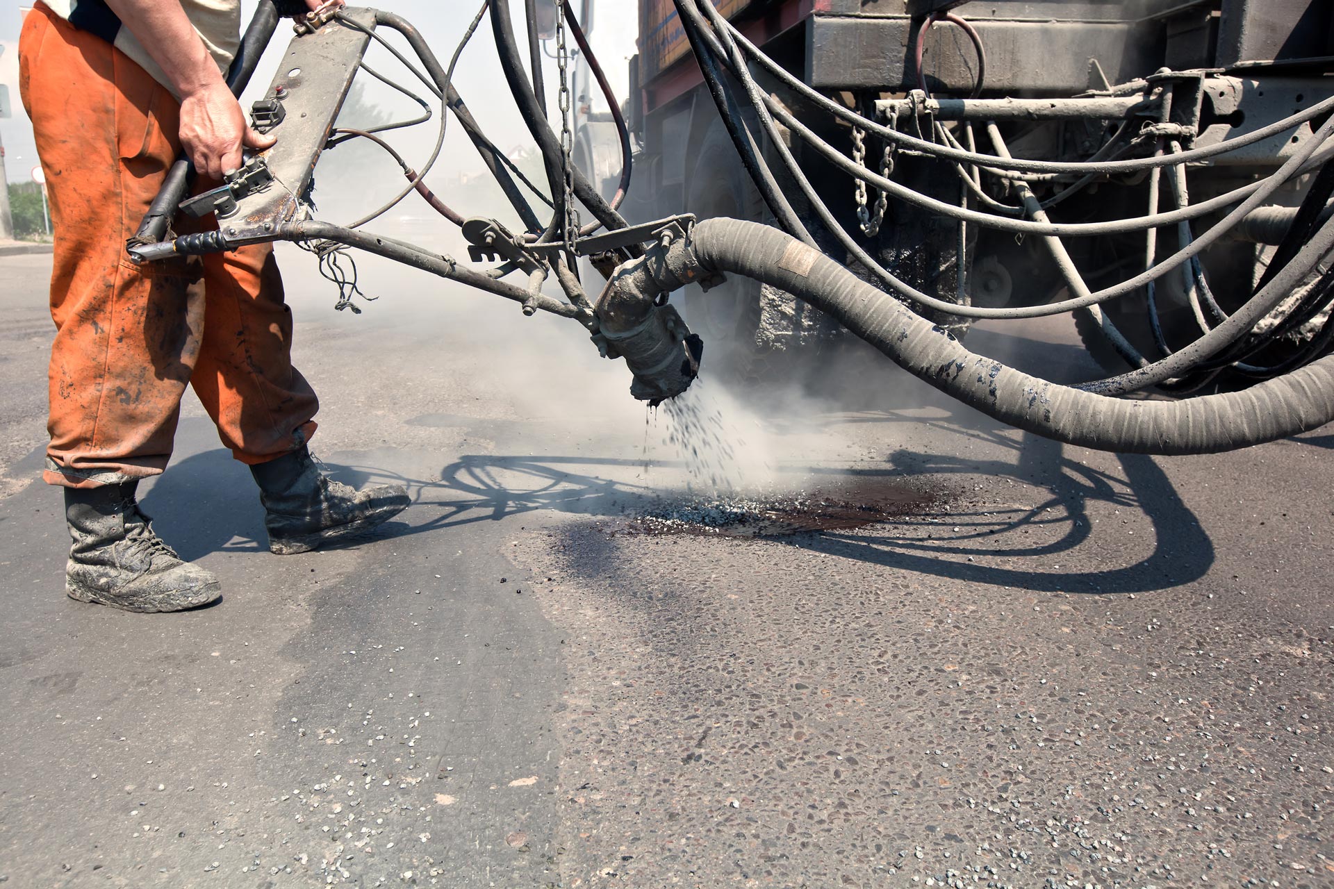
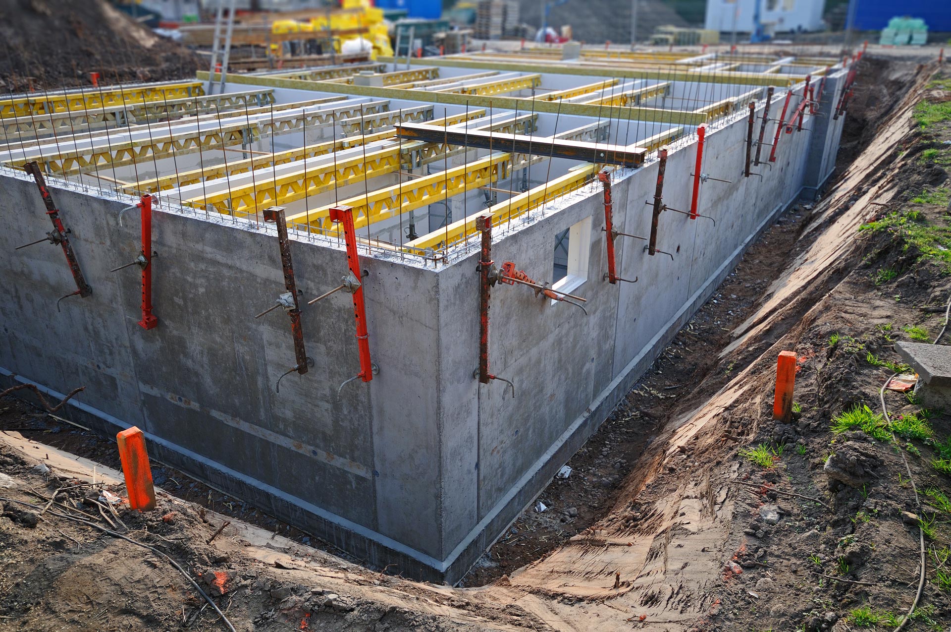
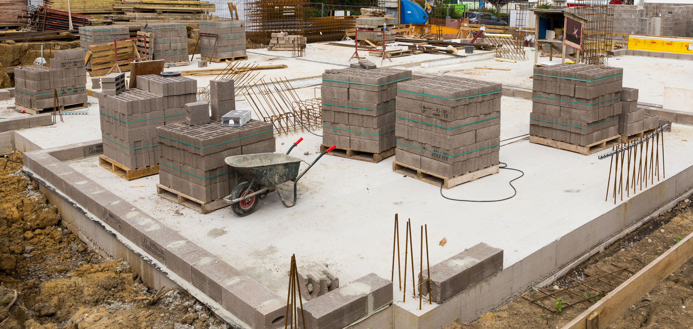
Market Analysis of Construction Materials with Recommendations for the Future of the Industry
2018-10-05
Objective: The objective of this work is to perform a market analysis and forecast for key commodities used in the highway and bridge construction industries including oil/asphalt, cement/concrete, steel, aggregates, and chemicals. This forecast will provide a basis for recommendations on future commodity use, new technologies, environmental issues, and construction practices and/or substitution commodities for PennDOT to consider for future development.